Austerlitz, the morning of 2 December 1805, as a 5-minute film written entirely in code (X video)
Winter (@WinterArc2125) · 2026-09-24 · ai-made · 634,163 views
Made by AI
Model: Claude Opus 5.5 · Series: Code-rendered film (LLM writes the program that draws every frame)
Evidence: X post (2026-09-24): 'HOLY SHIT. OPUS 5.5 IS CRAZY. / / Napoleon's sharpest battle lasted a morning and won him Europe. I just had it turn that morning into a complete 5 minute film. / / All code. / - It wrote the engine, the soldiers, the score, the voice. / - The hills are the real battlefield from satellite data. / - The sun rises where it actually rose on 2 December 1805. / / 90 minutes to build. 4 hours to render. $40 (cloud agent credits). / / Code ...'
Human role: Asked Opus 5.5 to turn the morning of Napoleon's battle into a complete film; published code and prompt. 90 minutes to build, 4 hours to render, $40 in cloud-agent credits.
Pipeline: Prompt → Opus 5.5 writes the engine, soldiers, score and voice; terrain from real satellite data; sun position for the real date → 4-hour render → 5:01 film
Lore: code-not-generated, budget-receipts
What's in the video
Description written by Gemini, which watched and listened to the whole video.
Summary
This video is a programmatic animated short film detailing the 1805 Battle of Austerlitz, created entirely through code and narrated via Kokoro TTS, posted by Winter (@WinterArc2125). It uses procedural 3D terrain rendering, animated tactical battle maps, and low-poly soldier models to depict Napoleon’s strategic deception, the assault on the Pratzen Heights, and the defeat of the Austro-Russian allied army.
What is shown
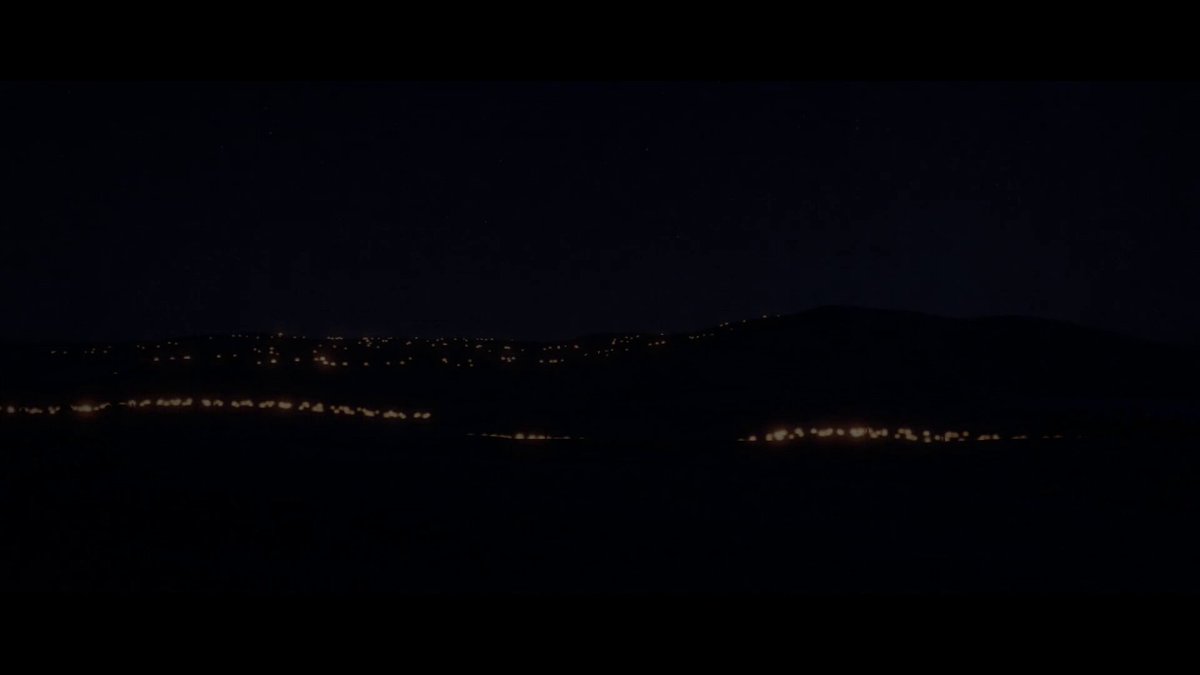
- [00:00–00:35] Night of 1 December 1805 in Moravia: French soldiers lighting improvised straw torches as Napoleon rides along the lines on the eve of his coronation anniversary, watched by allied scouts across the lines.
- [00:36–00:43] Title card: "AUSTERLITZ: 2 December 1805 – The Battle of the Three Emperors".
- [00:43–01:15] Animated 2D strategic map of Europe tracing the Grande Armée’s march from the English Channel to Ulm (surrender of Austrian army on 20 October), the capture of Vienna (13 November), and movement toward Brünn.
- [01:16–02:09] 3D stylized terrain overview explaining Napoleon’s battle plan: feigning weakness by abandoning the Pratzen Heights, purposefully weakening his right flank along the Goldbach stream (Telnitz and Sokolnitz), while Marshal Davout’s corps marches from Vienna and Marshal Soult’s corps conceals itself in the low ground.
- [02:10–02:39] Dawn attack at 7:00 a.m. against Telnitz; allied columns march down off the Pratzen Heights into the fog while Davout’s arriving troops reinforce the French right flank.
- [02:40–02:49] Scene at the Žuráň hill command post between Napoleon and Marshal Soult awaiting the signal to advance.
- [02:50–03:15] "The Sun of Austerlitz" (~9:00 a.m.): The morning fog lifts over the heights and Soult’s infantry divisions emerge from the mist to storm the nearly vacated Pratzen plateau.
- [03:16–03:43] Combat on the Heights and the Russian Imperial Guard counterattack; capture of the 4th Line’s eagle, followed by General Rapp’s cavalry charge (Chasseurs-à-Cheval and Mamluks of the Guard) repulsing the Russian guard.
- [03:44–04:19] Allied forces routed toward the Satschan ponds; French artillery firing onto the ice, followed by historical clarification regarding Napoleon's bulletin claims versus actual drained pond tallies.
- [04:20–04:53] Evening aftermath: casualty statistics, Treaty of Pressburg (26 December 1805), dissolution of the Holy Roman Empire (6 August 1806), and Napoleon’s proclamation to his soldiers.
- [04:54–05:01] Closing technical credits.
Claims & numbers
- The narrator states 85,000 Russians and Austrians faced the French on the eve of battle [00:28].
- The narrator notes Marshal Davout’s corps covered 110 kilometers in two days marching from Vienna [02:00].
- Marshal Soult tells Napoleon his men need "Less than twenty minutes" to reach the heights [02:45].
- Napoleon's official bulletin claimed 20,000 men drowned in the Satschan ponds, but when drained, the ponds yielded 38 guns, 130 horses, and only a handful of men [04:10–04:19].
- The video displays final battle losses: Allies lost 27,000 killed, wounded, or captured and 180 guns; the French lost approximately 9,000 [04:22–04:32].
- End screen claims: "Every image and sound in this film was generated in code. Terrain: SRTM elevation data · Map: Natural Earth · Voice: Kokoro TTS" [04:56].
Notable quotes
- [02:45] "Less than twenty minutes, sire."
- [02:47] "Then we will wait another quarter of an hour."
- [04:44] "It will be enough for you to say, 'I was at the battle of Austerlitz,' for people to answer: 'There is a brave man.'"
Assessment
This is a creative historical documentary short rendered via procedural graphics code rather than an AI diffusion video generator. All visuals, sound design, and camera choreography were programmatically constructed from elevation and map data, accompanied by open-weights neural TTS narration.
Lyrics & themes
- Themes & structure: The narration is a spoken historical recount following standard chronological military history: opening conditions and tactical setup, the strategic trap at the Pratzen Heights, the morning mist and assault, the climactic Guard clash, and political consequences.
- Key narrated lines:
- [00:04] "The night of the 1st of December 1805. On a frozen plain in Moravia, two armies lie a few miles apart, waiting for the dawn."
- [01:17] "So he invented a weakness."
- [02:57] "Then the sun breaks through. The fog falls away from the heights: the Sun of Austerlitz."
Lore & references
- The "Sun of Austerlitz" (Le Soleil d'Austerlitz): Classic Napoleonic legend regarding the winter sun piercing the dense mist just as the decisive assault on the heights commenced.
- The Satschan Ponds Myth: Directly addresses the long-standing Napoleonic propaganda claim of 20,000 drowned allied troops by citing the post-battle drainage excavations.
- Open-source tooling credits: Explicit reference to SRTM (Shuttle Radar Topography Mission) radar elevation data, Natural Earth cartography, and hexgrad's Kokoro TTS model.
Visual style & craft
- Style: Programmatic 3D canvas and shader graphics utilizing simplified, flat-shaded low-poly figures, dynamic lighting (torchlight points in darkness, fog attenuation, directional sunlight), and topographic heightmap meshes based on real SRTM data.
- Execution: Smooth procedural camera splines, programmatic particle smoke for musket and artillery fire, and clean vector map overlays for troop movements. Rather than generative video artifacts (warping, morphing), geometry and animations are strict programmatic primitives rendered deterministically via code.
Described by gemini-3.8-flash on 2026-09-30 from the video's audio and frames.